
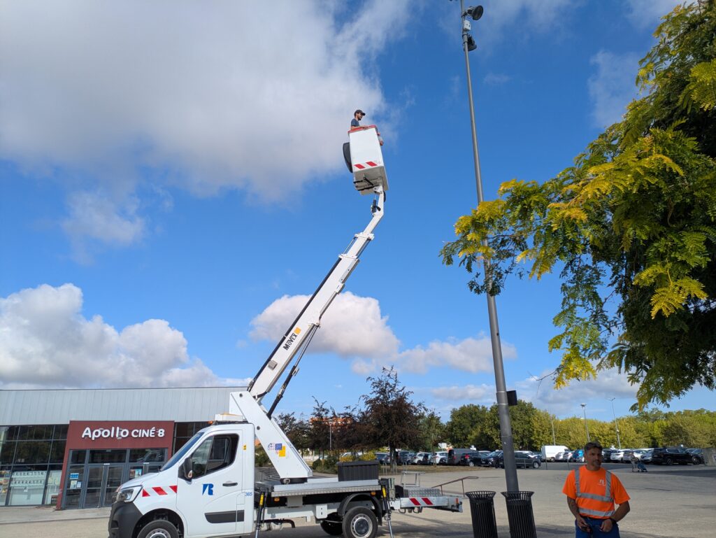
As part of the EPURE project, CRITT Horticole is carrying out a series of measurements this summer in Rochefort and La Rochelle. Mélissa Delys and Julien Minard installed several sensors in various urban areas to study the thermal behaviour of these sites and gain a better understanding of the role of vegetation during periods of extreme heat.
These field measurements will provide concrete data on the effects of vegetation and landscaping in combating the urban heat island effect.
Measuring the effect of plants during hot weather
The EPURE project aims to develop a service for assessing vulnerability to urban heat island effects, as well as a service for analysing the impact of adaptation measures. It focuses in particular on green solutions, such as trees, green spaces and various landscaping measures that can improve thermal comfort in urban areas.
The monitoring campaigns carried out during August are intended to enable observation of the plants at a time when temperatures are at their highest and episodes of water stress may be most severe.
A number of characteristics are being studied, including:
- the shade provided by vegetation;
- the cooling effect on surfaces and the surrounding air;
- the morphology of trees and plants;
- their physiological condition;
- their behaviour under conditions of heat and water stress.
These periods are particularly important to analyse, as they correspond precisely to the times when cities are most in need of effective solutions to limit the urban heat island effect.
Connected sensors designed by CRITT Horticole
To carry out this campaign, CRITT Horticole has designed connected sensors specifically tailored to the needs of the EPURE project.
Each device takes the form of a compact housing incorporating two complementary imaging systems: a thermal infrared camera and a conventional camera.
The thermal camera enables the surface temperatures of various features within the image to be observed: vegetation, ground surfaces, building façades, roads and street furniture. A conventional camera, meanwhile, enables the features observed to be identified precisely and the thermal data to be placed in context.
Both cameras capture images at regular intervals, day and night. By cross-referencing this data, it will be possible to analyse temperature trends throughout the day and to compare the thermal behaviour of various urban layouts.
Comparing different landscaping designs
The sensors have been installed in the two partner towns of the 2026 campaign: Rochefort and La Rochelle.
The aim is to compare different types of urban areas and landscaping schemes in order to assess their ability to limit surface heating and contribute to urban cooling.
The data collected will, in particular, enable us to study the differences between areas with varying levels of vegetation, as well as the influence of shade, the shape of the plants and their water status.
The collection of images and measurements will continue until the end of the summer, in order to cover a range of weather conditions and different levels of heat.
Field data to supplement the models
The campaigns carried out by CRITT Horticole also aim to provide input for the tool developed by TIPEE as part of the EPURE project.
The inclusion of measurements taken directly in Rochefort and La Rochelle will help to supplement the theoretical data usually used to model vegetation. Models will thus be better able to take into account the characteristics of the actual urban developments in the partner cities, as well as the climatic and geographical context of Nouvelle-Aquitaine.
By combining field experiments, instrumentation and modelling, the EPURE project aims to help improve the assessment of heat adaptation solutions and to support local authorities in their future urban planning decisions.